On the northern outskirts of Big Pine, California, along Highway 395. View is southwestward to the eastern front of the great Sierra Nevada, California. Note the horses facing the Sierra at lower left corner. Image taken by the Google Earth Street View Car; I cropped and processed it through photoshop. |
Along Highway 395 in the wonderful community of Big Pine, Owens Valley, California. View is slightly west of due south to the eastern front of the Sierra Nevada. Image taken by the Google Earth Street View Car; I cropped and processed it through photoshop. |
Perspective is slightly south of due west along California State Route 168, near its intersection with Highway 395 (at stop sign at lower right), Owens Valley. Eastern front of Sierra Nevada in backdrop. Centerpiece of photograph is the 100-plus year-old Giant Sequoia (also called Big Tree and Sierra Redwood) at junction of SR 168 and Highway 395, northern outskirts of Big Pine. This is The Roosevelt Tree, planted July 23, 1913 in honor of US president Teddy Roosevelt, to commemorate the opening of SR 168 to automobile traffic over Westgard Pass. Image taken by the Google Earth Street View Car; I cropped and processed it through photoshop. Dark circular blotch in sky at right center is an orginal artifact of the Google Street car imagery. |
View is slightly west of due north at the pullout at intersection of California State Route 168 and Highway 395, northern outskirts of Big Pine, Owens Valley. Centerpiece of photograph is the 100-plus year-old Giant Sequoia (also called Big Tree and Sierra Redwood). This is The Roosevelt Tree, planted July 23, 1913 in honor of US president Teddy Roosevelt, to commemorate the opening of SR 168 to automobile traffic over Westgard Pass. Image taken by the Google Earth Street View Car; I cropped and processed it through photoshop. |
Panoramic perspective is northeast along California State Route 168, on the road to the classic early Cambrian geologic rock exposures near Westgard Pass, in the White-Inyo Mountains complex up ahead. Image taken by the Google Earth Street View Car; I cropped and processed it through photoshop. |
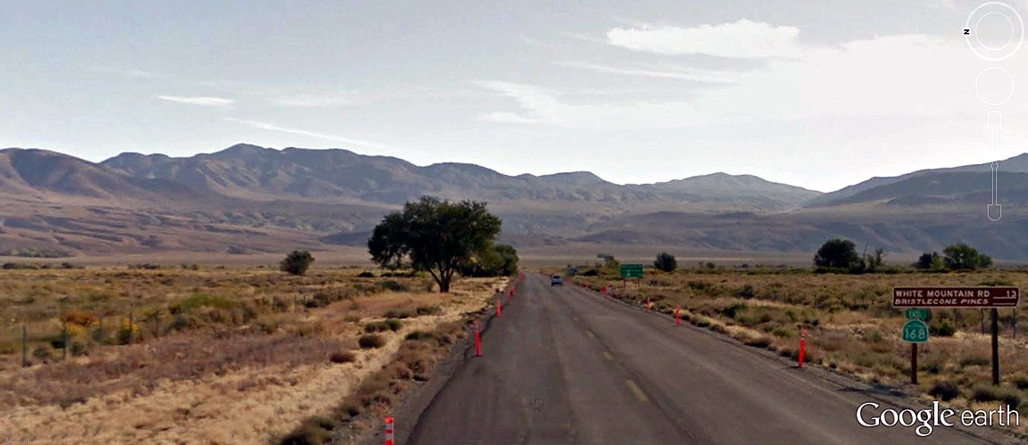
Directional view is practically due east along California State Route 168, at the sign that informs adventurers that White Mountain Road--the path to the ancient Bristlecone Pines (the oldest continuously living, non-cloning organism on earth--some have been calculated at well over 4,000 years old) lies 13 miles from this point. Image taken by the Google Earth Street View Car; I cropped and processed it through photoshop. |